What we publish and how we verify it
Every plot in this section is identified by its padrón, block and lot, the three details any notary uses to find it in the Cadastre. The outline you see on the satellite image and the area shown in the listing come from the urban cadastre published by the Intendencia de Rocha GIS (2021 data), not from our own estimate; the blocks on the map are drawn by merging those same parcels, so everything comes from a single source. The definitive measurement is always the registered survey plan, which is why dimensions are shown as approximate. Prices and terms are confirmed by the owner: when they authorise publishing them, they appear in the listing; otherwise, ask via WhatsApp.
El Caracol, the Rocha shore of the lagoon
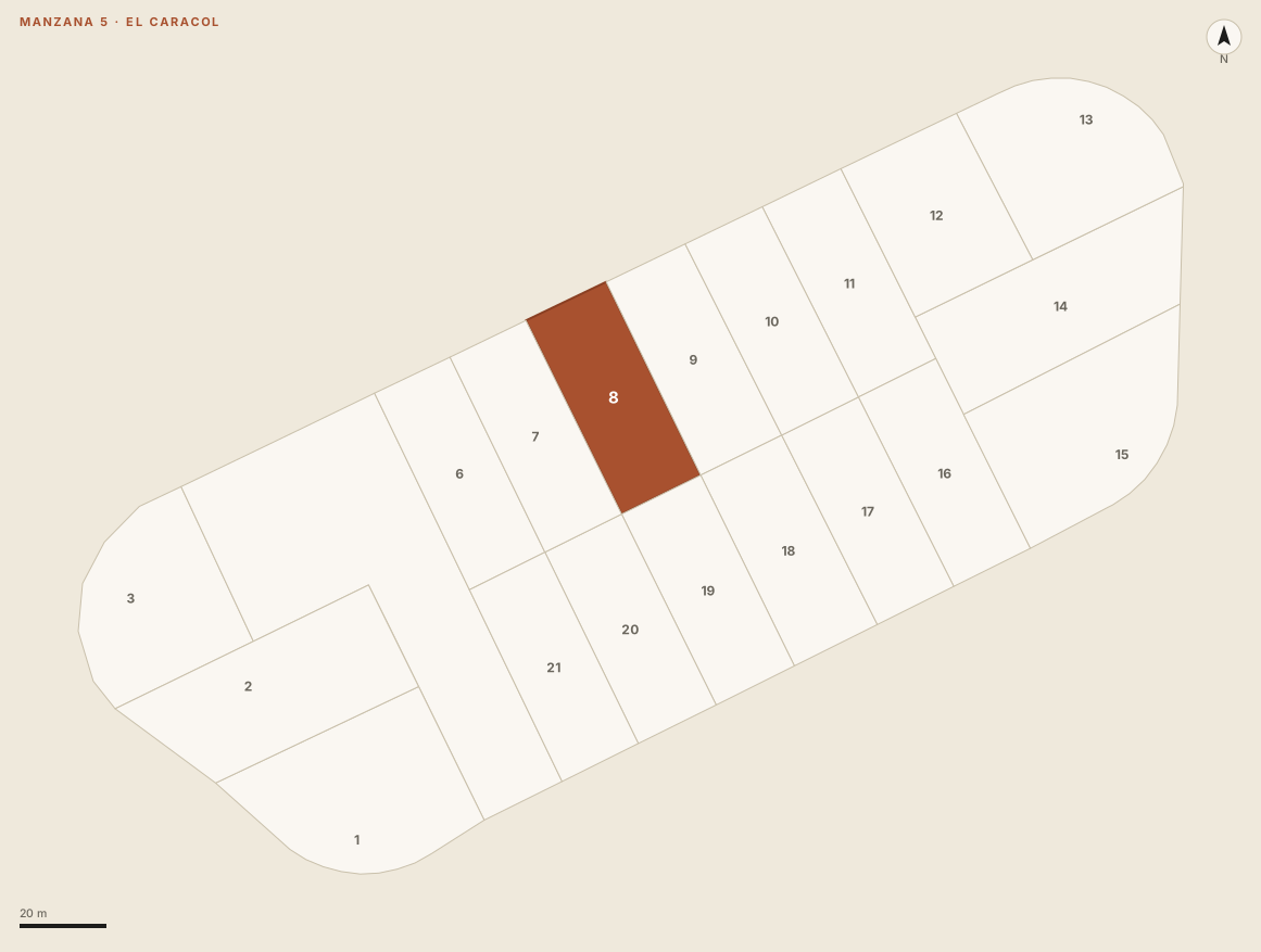
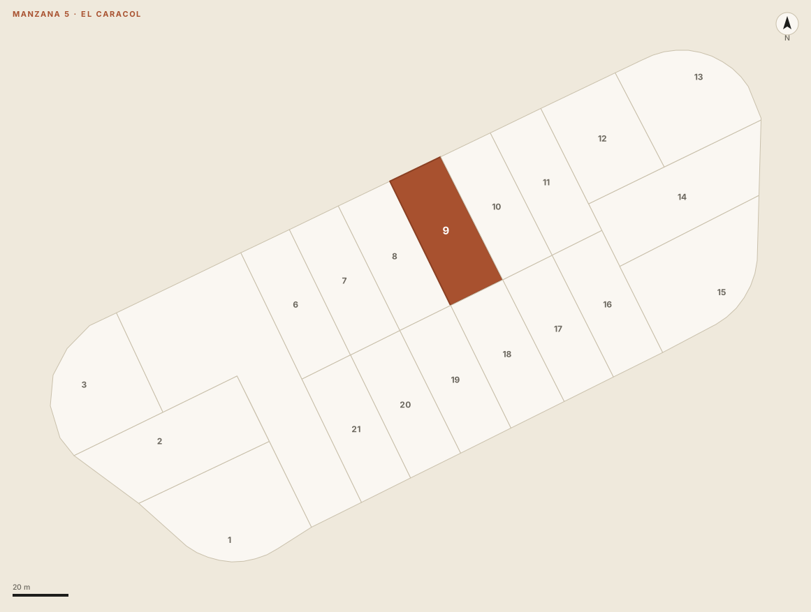
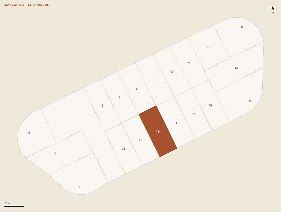
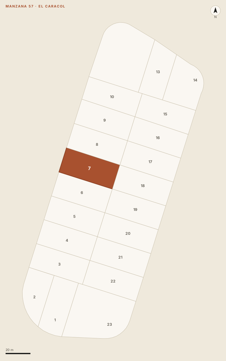
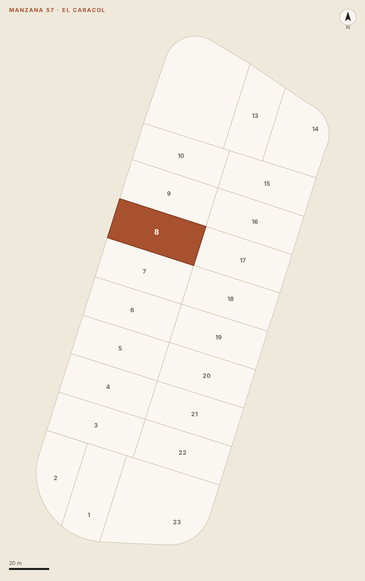
El Caracol is the low-density resort that begins right after the circular bridge, at km 193 of Ruta 10, on the Rocha side. A subdivision of detached houses among native woodland, with the lagoon on one side and, across the road, the ocean beaches of El Caracol, Costa Bonita and El Bonete. On the lagoon lies La Playita, the still freshwater beach that is the resort's meeting point and the base for the kayak and birdwatching operators. The plots listed are in two blocks: block 5, in the southern part, under 2 km from the bridge, and block 57, in the northern part; all between 180 and 310 metres from the shore.
Frequently asked questions
Can I buy land if I do not live in Uruguay?
Yes. Uruguay does not restrict property purchases by foreigners and does not require residency: a valid passport and proof of the origin of funds are enough. The transaction goes through a public notary, as for any buyer.
Can several lots be bought together?
Yes. In block 57, lots 7 and 8 adjoin and add up to 1,800 m². In block 5, lots 8, 9 and 19 adjoin and add up to 3,000 m². Ask about the set or about each one; we send price and terms in both cases.
Does the portal charge the buyer a commission?
The terms of each transaction, including commission, are explained via WhatsApp before the visit. Enquiring is free.
Sources: urban cadastre of the Intendencia de Rocha GIS (urban parcels layer, 2021 data, Uruguay open data licence); straight-line distances calculated on OpenStreetMap cartography; the portal's published El Caracol listing and guides. Spotted an error? Write to hola@portalgarzon.com.