
What is Laguna Garzón?
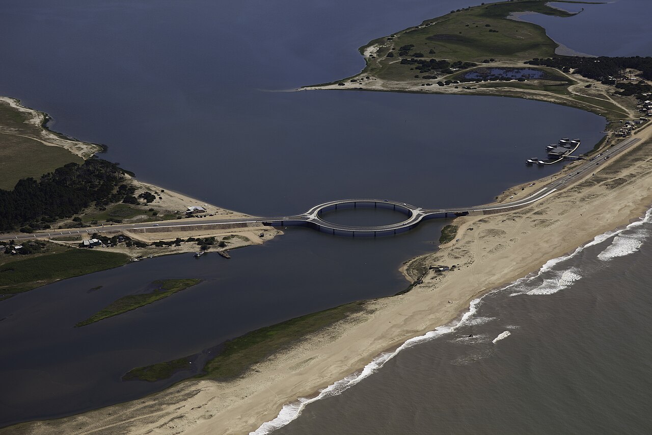
Laguna Garzón is a coastal lagoon of some 1,750 hectares on the border between the Maldonado and Rocha departments, separated from the Atlantic Ocean by a sand bar about 3.5 kilometres long. Its average depth is just 0.46 metres: shallow, calm water with no swell. Since November 2014 it has been part of Uruguay's National System of Protected Areas (SNAP), under the Habitat and/or Species Management Area category; the protected area also takes in the neighbouring lagoons, a ring of land and a strip of ocean. You can read what the protected area means for your visit on the portal. The Fundación Lagunas Costeras works on conservation and environmental education in this lagoon and in those of José Ignacio, Rocha and Castillos.
The circular bridge
You cross the lagoon on the circular bridge of Route 10, designed by Uruguayan architect Rafael Viñoly and opened on 22 December 2015, replacing the raft that had operated since the mid-1990s. It is about 202 metres of circular roadway resting on 16 pillars, with a pedestrian walkway around the whole ring: you can cross by car — each half carries one direction — or on foot. The Laguna Garzón bridge guide covers the history, how to get there and what to look out for as you cross.
Things to do
The shallow, sheltered water makes the lagoon one of the best places on the Uruguayan coast for kayaking and stand-up paddling, with year-round rentals in the El Caracol area. Windy days belong to kitesurfing on Laguna Garzón, regulated by resolutions that define which parts of the water can be used. On land, guided walks through the protected area bring you close to the wildlife with local guides, and the resident birds — cormorants, herons, swans, coots — can be seen from the shore all year round. In winter (July to October) you can add southern right whales off the coast.
The villages around the lagoon
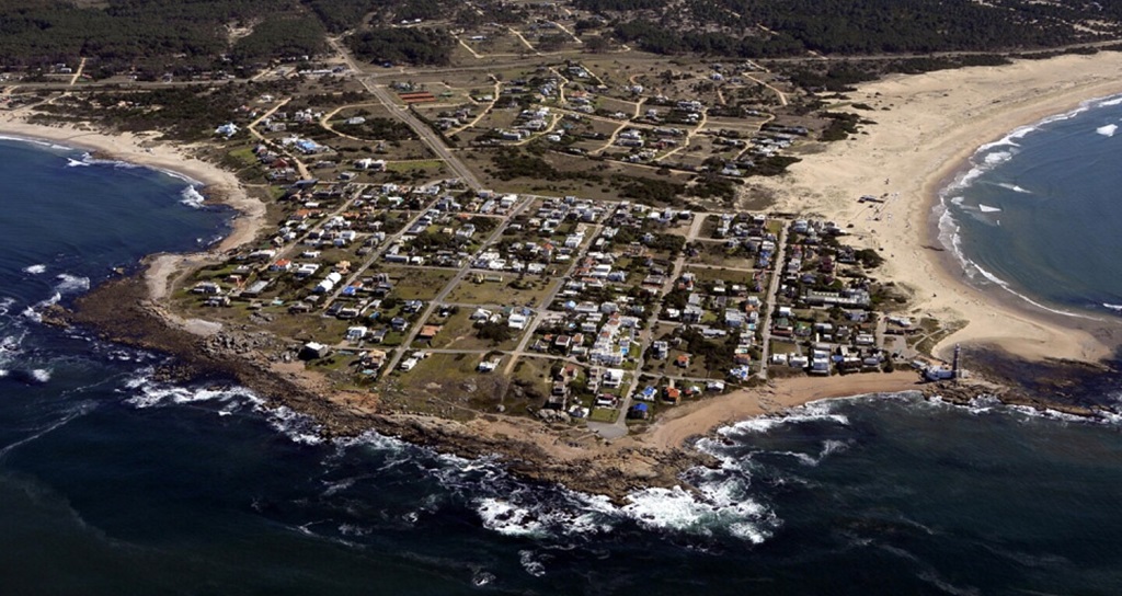
On the Maldonado side is José Ignacio, the lighthouse peninsula, about 40 km from Punta del Este. Across the bridge, on the Rocha side, La Juanita lives among dunes, pines and dirt roads. Inland, along Route 9, Pueblo Garzón has become synonymous with wine, food and art. The guide to the villages compares all three to help you choose a base.
Practical notes
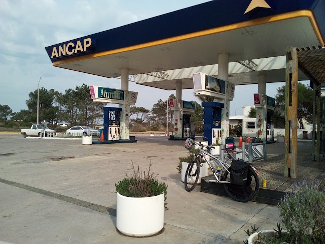
The area runs along Route 10; public transport is limited to the buses that stop on the road in José Ignacio and at Laguna Garzón (CODESA Line 14, COT and COPSA Línea Este), so getting around means your own car, the local taxis, transfers and car rentals, or a bicycle. If you are driving, the José Ignacio petrol station is the last one before Rocha and is open 24 hours. Useful phone numbers are gathered on the emergencies page.
Frequently asked questions
Is Laguna Garzón a protected area?
Yes. Since November 2014 it has been part of Uruguay's National System of Protected Areas (SNAP), under the Habitat and/or Species Management Area category. For visitors this means a few common-sense rules: don't approach nests or bird colonies, take your litter with you and stay in the designated areas.
Can you cross the Laguna Garzón bridge on foot?
Yes. A pedestrian walkway runs around the entire ring, with spots to sit and watch the water. By car, traffic splits as you enter the circle: each half carries a single direction.
Can you paddle or boat on Laguna Garzón?
Yes. Kayaks and SUP boards can be rented year-round in the El Caracol area. The lagoon has an average depth of just 0.46 metres and no ocean swell, which is why it is so beginner-friendly. Regulations set by the Coast Guard (Prefectura) and the local governments define exclusion zones near the bridge and safety rules.
Which villages are near Laguna Garzón?
On the Maldonado side, José Ignacio, the lighthouse village, about 40 km from Punta del Este along Route 10. Across the bridge, on the Rocha side, La Juanita sits among dunes and pines. Inland, along Route 9, Pueblo Garzón is the rural village of wine and art.